


Researchers are Using VR and Drones to Help Protect Koalas From Extinction
In the study, published in the journal PLoS ONE, QUT researchers and the Australian Centre of Excellence for Mathematical and Statistical Frontiers (ACEMS) have used a combination of virtual reality (VR), aerial thermal-imaging and ground surveys to build a better statistical model for predicting the location of koalas and, ultimately, protecting them from extinction.
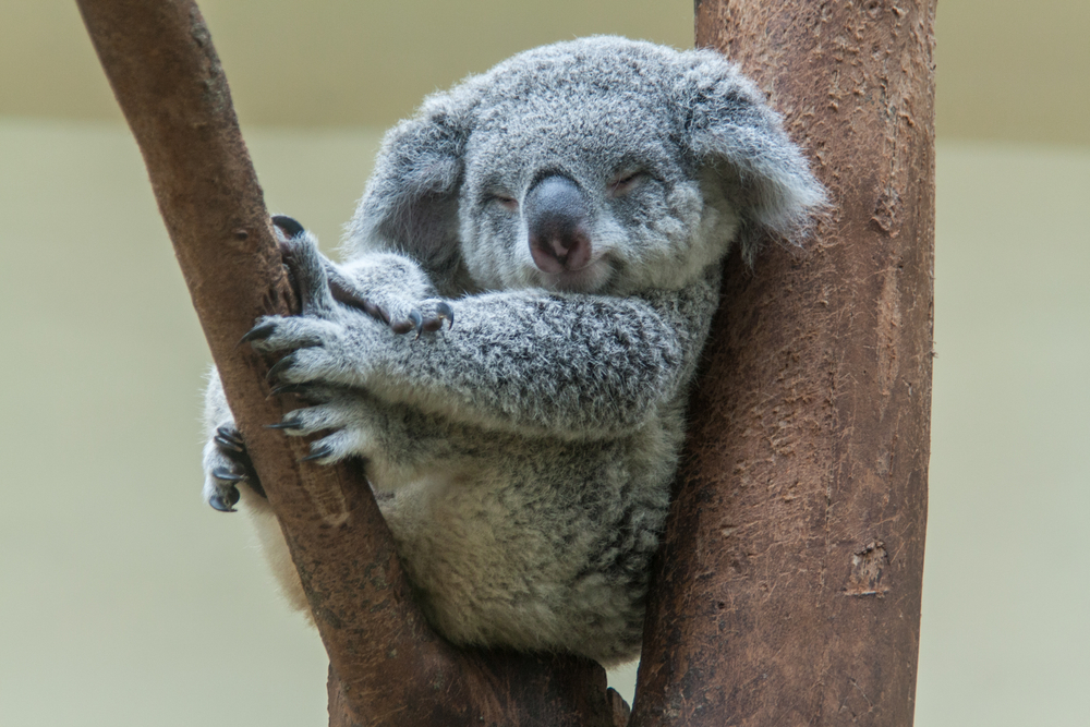
Already facing declining populations due to loss of habitat, bushfires on the country’s east coast have devastated the species’ numbers even further in recent weeks. The Australian Koala Foundation said there may be as few as 80,000 of the animals left in the wild, meaning they are unlikely to produce a new sustainable generation.
Researchers down under have adopted a range of new technology solutions including virtual reality and drones, to track Australia’s koalas and to protect them from a further dwindling of their population. Lead author Dr Catherine Leigh, who is also an Associate Investigator with ACEMS, concluded that the advantage of the multi-pronged approach was that it greatly increased the accuracy of the statistical model so that conservationists and government can stay better informed and plan accordingly.
“It’s about building a model that tells us with confidence where koalas are and where they’re not,” Dr Catherine Leigh said. “When you start building up a model with all of that data, you get a much better idea about where the koalas are likely to be.”
Sending experts into the field is often difficult, time consuming and expensive. Leigh said VR technology now gives researchers the ability to bring the field to the experts. Researchers are combining VR with thermal imagery from drones and also traditional ground surveys. This has given them 75 percent more accurate data surrounding the Koala’s activity and location, allowing local councils and town planners to work with this critical information to prevent further destruction of their habitat.